Placing Nature on West RidgeNatural features, open spaces and the politics of their development have defined the West Ridge neighborhood from the time of its first settlement to the present day. Native Americans and later European immigrant travelled along the high ground, a sand ridge that is now Ridge Avenue. At the western edge of the neighborhood, a topographic depression became the North Shore Channel used to flush the dirty waters of the North Branch of the Chicago River south to the Sanitary and Ship Canal during the earlier part of the twentieth century. At these edges and throughout the land between, the public gathering spaces tell the stories of settlement, political wrangling and opportunistic use.
Ridge Avenue/Boulevard
Ridge Avenue (turns into Ridge Boulevard north of Devon Avenue), which forms the eastern limit of the neighborhood, is the top of a sandy glacial moraine formed 14,000 years ago as the shore of Lake Michigan. Native Americans used the high ground of moraines like Ridge Avenue as hunting, raiding and trading paths connecting settlements near the southern edge of Lake Michigan with other tribes in Wisconsin. During the century and a half after the Marquette and Joliet expedition, the ridge was used mainly as a transit route by Native Americans, missionaries, fur trappers and traders between settlements near the southern edge of Lake Michigan and tribes in Wisconsin.
The first European settler along Ridge Avenue/Boulevard was an Irish immigrant, Philip McGregor Rogers, who acquired 600 acres around 1834; larger numbers of German immigrants arrived in the area in the 1840s. Several families purchased tracts of land along the higher ground between Ridge Avenue and what is now Western Avenue, farming fruit and vegetable crops. Between the 1840s and 1870s, another group of immigrants from the Duchy of Luxembourg settled along Ridge Avenue and expanded farming to the north. In the 1860s, the excavation of “the Big Ditch” drained marshlands to the east of Ridge Avenue, expanding the arable acres within a short transit distance of downtown Chicago. The image shows the Zender greenhouses built to the east of Ridge Boulevard at Pratt Avenue. Source: West Ridge/Rogers Park Historical Society documents. Text by Cynthia Anderson |
View Tour 4: Environment in a full screen map 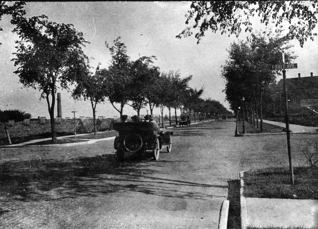
Digital photograph of Ridge Road, courtesy of Rogers Park/West Ridge Historical Society. Copyright Rogers Park/West Ridge Historical Society
|
